Scientific diving often involves high-risk operations in challenging environments such as low-visibility waters, deep depths, and sensitive ecosystems. Ocean Plan's Underwater Communication and Navigation System significantly improves the safety of scientific divers. By enabling real-time positioning, underwater navigation, wireless communication, and SOS functionality, the system ensures divers can communicate and be located, even in the most challenging conditions.
In scientific research, collaboration between divers, surface teams, and support personnel is essential. Ocean Plan's system provides an integrated platform for instruction communication, real-time status monitoring, and team coordination. This facilitates faster decision-making and smoother execution of complex research tasks, from underwater sampling to habitat mapping and environmental monitoring.
The system's capabilities, including diver tracking and the ability to send and receive messages underwater, play a pivotal role in supporting advanced scientific studies. Whether it's marine pollution monitoring, coral reef health assessments, or estuary research, the system allows scientists to gather more reliable data like salinity data and make more informed decisions about marine environments.
Whether working in urbanized estuaries, coastal waters, or deep-sea research, Ocean Plan's Underwater Communication and Navigation System is built to function in various underwater conditions. Its modular design allows it to adapt to different research needs, whether for small-scale studies or large-scale scientific missions.
1). Global Estuaries Monitoring Programme in Hong Kong
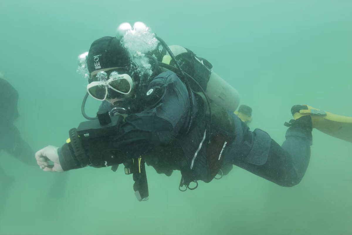
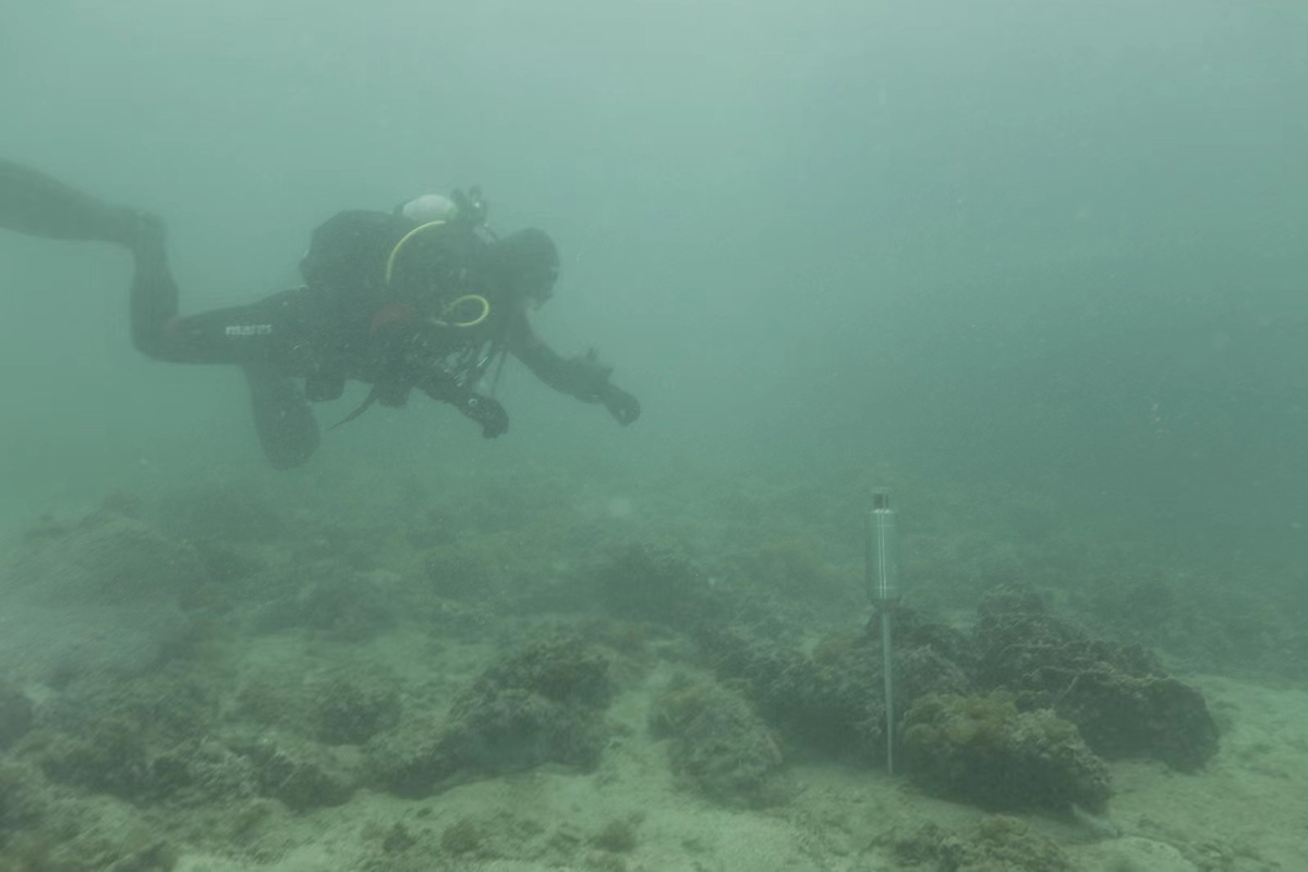
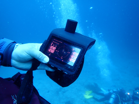
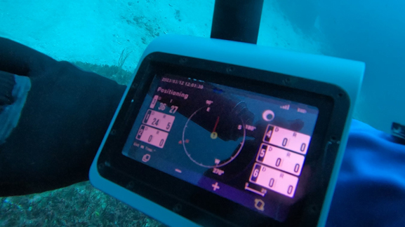
Ocean Plan's system played a crucial role in the Global Estuaries Monitoring Programme (GEM) in Port Shelter, Hong Kong. As part of the United Nations Decade of Ocean Science for Sustainable Development, GEM focuses on monitoring environmental contaminants in major urbanized estuaries. The system's real-time positioning and wireless communication capabilities enabled scientists to track divers, monitor underwater conditions, and ensure safety during research activities. The system's flexibility, ease of deployment, and outstanding performance were praised by marine scientists, making it an essential tool in their ongoing research efforts.
2).Scientific Diving in China Sea
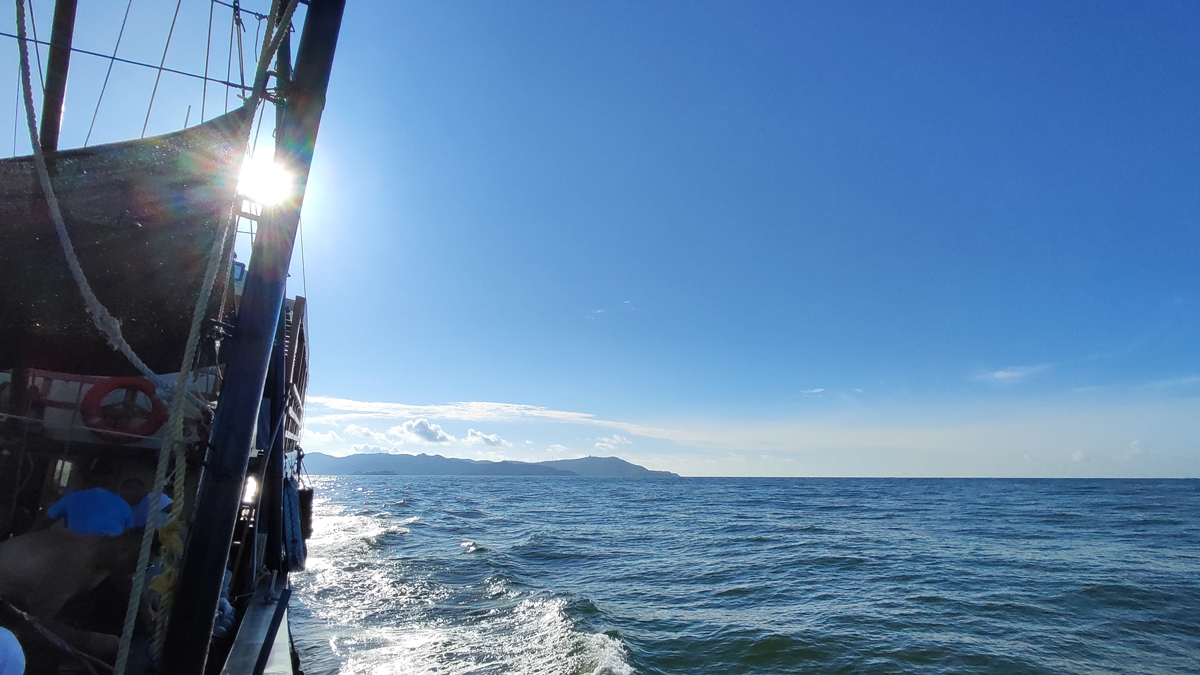
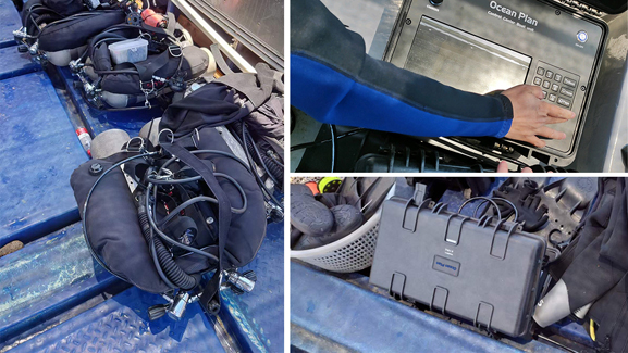
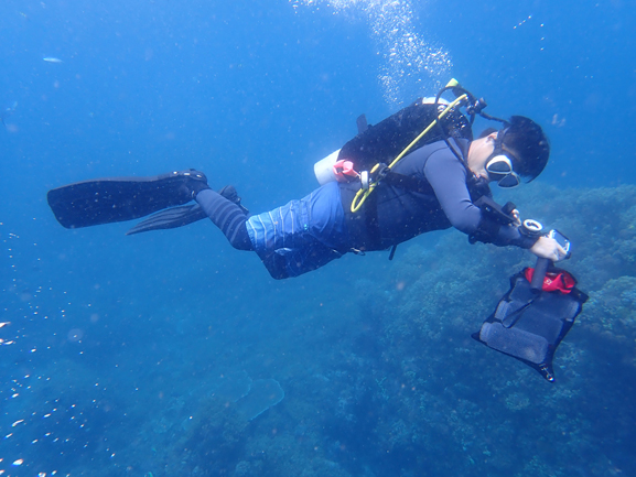
Ocean Plan's system was successfully deployed in a scientific diving project in the China Sea, assisting divers in overcoming challenges such as poor visibility and difficult communication. With features like real-time diver tracking and underwater navigation, the system ensured team members could stay connected even in adverse conditions. This enhanced safety, efficiency, and collaboration during the scientific research. The system's easy integration with existing diving equipment contributed to smoother operations, making it a reliable solution for scientific teams.
![]()
3). Collaborative Scientific Diving Training in Indonesia
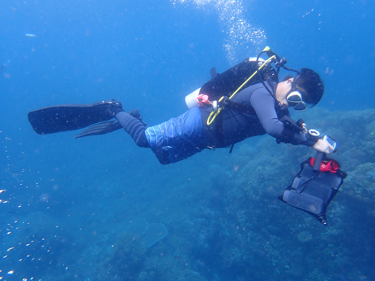
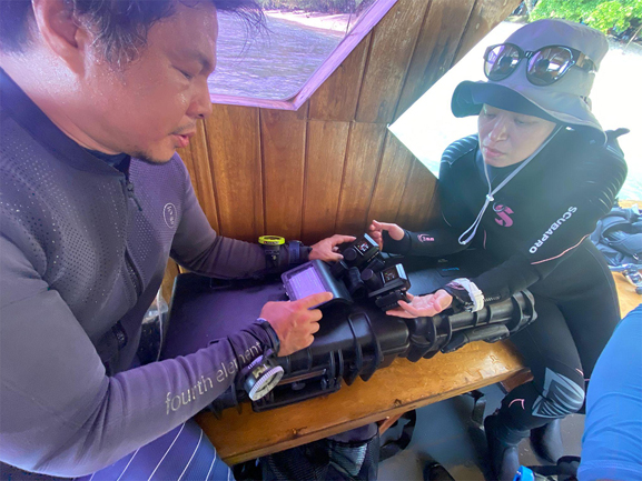
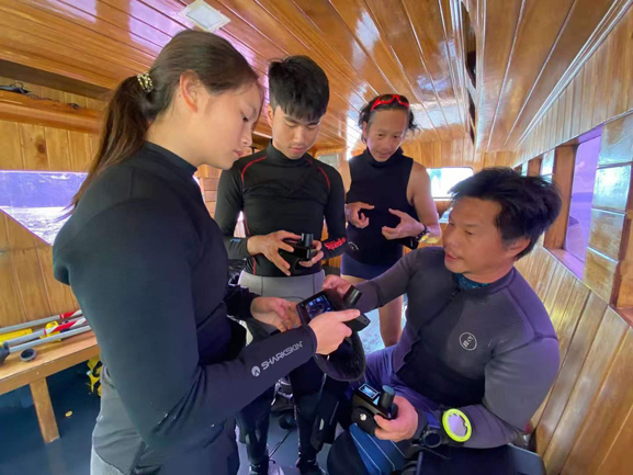
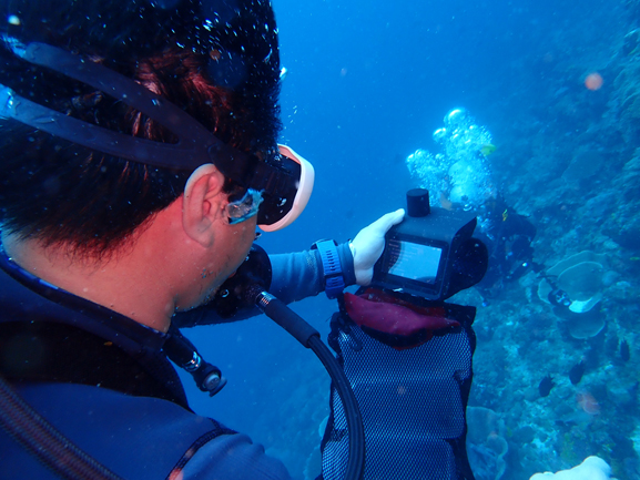
The State Key Laboratory of Marine Pollution (SKLMP) at City University of Hong Kong used Ocean Plan's system during a training event in Indonesia's Likupang area. Researchers were trained on how to use the system for underwater habitat mapping and coral reef ecosystem monitoring. The system's diver tracking, two-way messaging, and SOS alarm functions helped ensure the safety of all divers, while also enhancing the effectiveness of the training. With real-time updates and situational awareness, the system contributed to a more efficient and safe training environment.
Improved Real-Time Data Integration
Ocean Plan continues to enhance its system by integrating advanced data analytics for real-time dive conditions, providing researchers with deeper insights into underwater environments. Future developments will include better integration of diver physiological data, dive path mapping, and underwater environmental data to offer a more holistic view of the research conditions.
Collaboration with Other Marine Technologies
Ocean Plan aims to further collaborate with other marine technologies to create a more integrated scientific diving toolkit. By combining underwater communication and positioning with environmental monitoring tools, Ocean Plan envisions a functional ecosystem for underwater research, where scientific divers, environmental sensors, and surface command centers work together to improve research outcomes and safety.
Expanding Range and Scalability
As scientific diving projects grow in complexity and scale, Ocean Plan plans to expand the system's range and scalability. This will include developing even more portable, modular units that can cover larger dive areas or operate in deeper environments. Increased connectivity options will allow researchers to collaborate with teams in real-time, regardless of location, creating flexible underwater network of marine researchers.